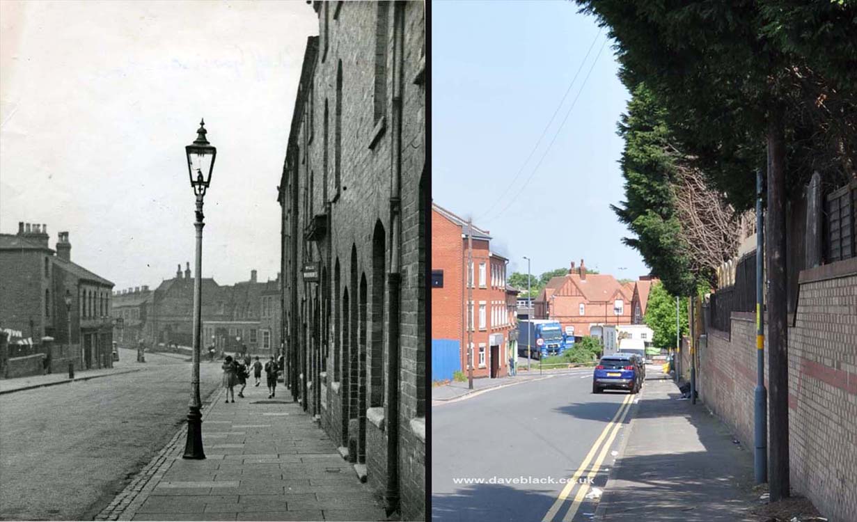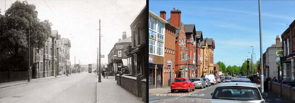
Tilton Road - On the left side is The Royal George pub (now a hotel), and in the distance is Tilton Road School (now a mosque). This road connects Cattell Road to Garrison Lane, Saint Andrews Football Ground (out of shot) is to the left.
Left Image: Author, and Copyright status not known.
Left Image Date: Not known.
Right Image Date: 20/05/2018.

Victoria Street Chapel - It is now an Islamic education centre. Located on Victoria Street, Bordesley Green, Birmingham.
Left Image: Author, and Copyright status not known.
Left Image Date: Not known.
Right Image Date: 27/04/2021.

Green Lane Picture House - Opened as a cinema in 1914, closed in 1957. Since then it has been used as a retail outlet for furniture, a 'Cash and Carry' warehouse, and is now an outlet for perfumes. Located at the junction of Green Lane, Victoria Street, and Muntz Street, Small Heath, Birmingham.
Left Image: Author, and Copyright status not known.
Left Image Date: Not known - possibly early 1950's.
Right Image Date: 09/10/2018.

After The Tornado - Showing some of the damage after the first tornado to hit Birmingham in 1931 (the second was in 2005). Located at the junction of Green Lane, Victoria Street, and Muntz Street, Small Heath, Birmingham.
Left Image: Author, and Copyright status not known.
Left Image Date: June 1931.
Right Image Date: 09/10/2018.

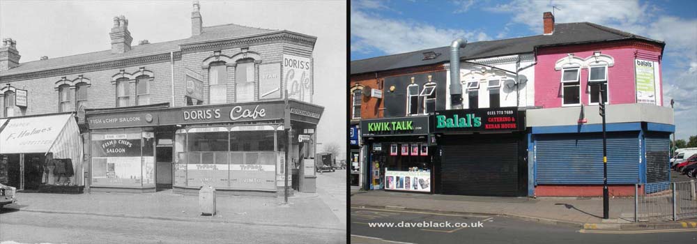
Doris's Cafe, on the corner of Green Lane and Redvers Road, Small Heath (Bordesley Green), Birmingham.
Left Image: Author, and copyright status not known.
Left Image Date: Not Known, possibly early 1970's.
Right Image Date: 07/08/2020.

Bordesley Green Police and Fire Station - The police station is now Heartlands hostel, and the fire station is a business unit dealing in double glazed windows.
Left Image: Author, and Copyright status not known.
Left Image Date: Not known.
Right Image Date: 14/05/2018.

Bordesley Green Fire Station - At some stage in the life of this building a section of it was removed (right hand side), this increased the width of the passageway between the two structures.
Left Image: Author, and Copyright status not known.
Left Image Date: Not known.
Right Image Date: 14/05/2018.

Bowyer Road - Second World War bomb damage resulted in new houses being built on the right hand side, there aren't many corresponding identifiable features, there are only two that I can see - the stone house name on the left, and the road junction to the right. This road connects Saint Saviours Road with Alum Rock Road.
Left Image: Author, and Copyright status not known.
Left Image Date: Not known.
Right Image Date: 11/05/2018.

Alum Rock Road - Looking towards Saltey Gate, this is the junction with Bowyer Road (on the left) and Highfield Road. Nechells gas holders can just about be seen in the distance on the older photo, the top of Saltley Methodist Church can also be seen just above where the tram is.
Left Image: Author, and Copyright status not known.
Left Image Date: Not known.
Right Image Date: 11/05/2018.

Six Ways, Golden Hillock Road - The roads that form this junction are: - Golden Hillock Road, Cooksey Road, Glovers Road, Wordsworth Road, and Waverley Road. The roundabout/traffic island that is there now is often referred to as 'Pigeon Island', this is because the amount of pigeons that congregate there waiting for food from people who ignore the signs asking that they are not to be fed.
Left Image: Author, and Copyright status not known.
Left Image Date: Not known.
Right Image Date: 10/10/2018.